

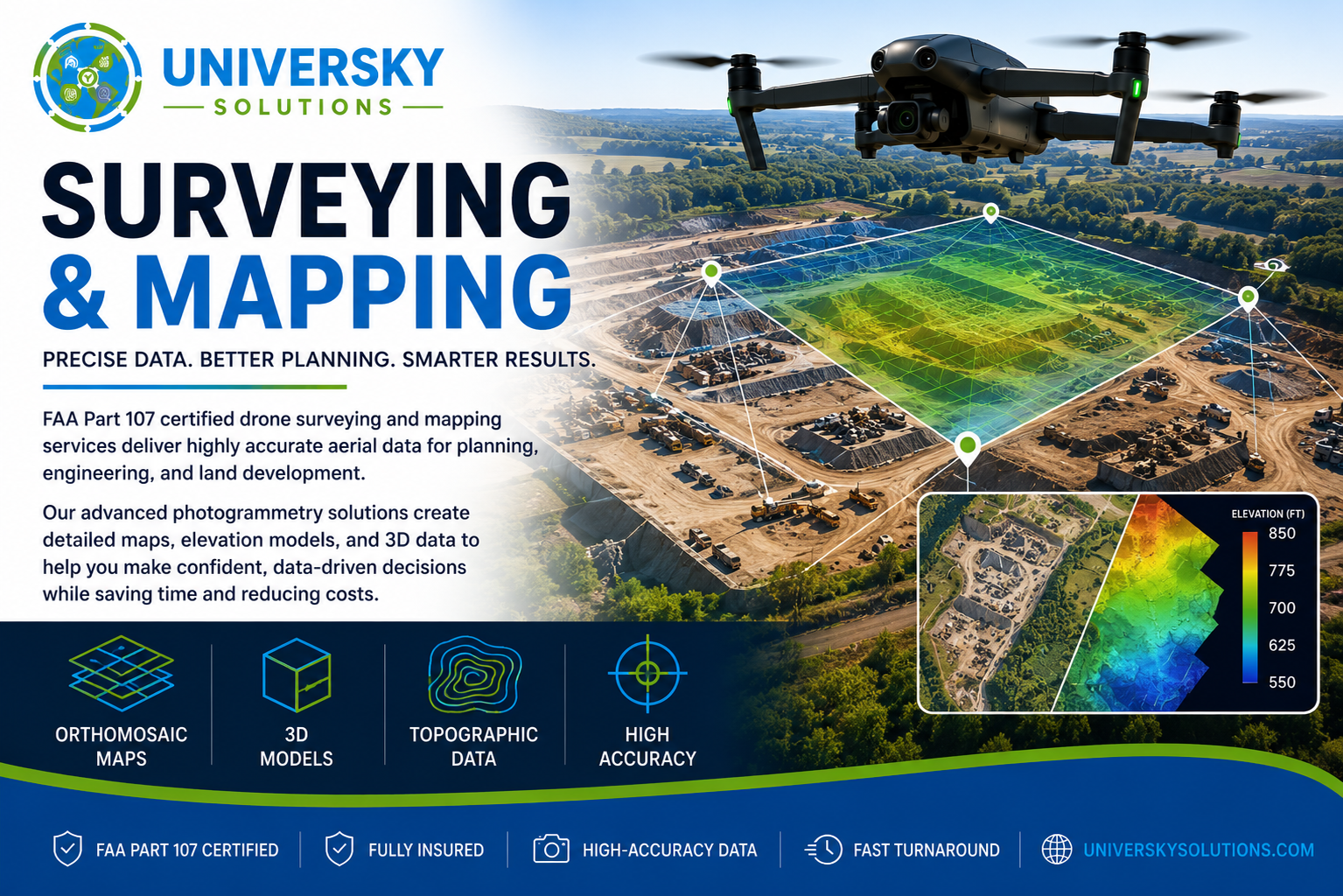
FAA Part 107 certified drone surveying and mapping services deliver highly accurate aerial data for planning, engineering, and land development. Using advanced photogrammetry, we create detailed orthomosaic maps, elevation models, and 3D site data while reducing field time and project costs.
Our aerial mapping solutions help engineers, surveyors, developers, construction firms, and municipalities make faster, data-driven decisions with precise, repeatable results.
Applications
- Land Survey Support
- Topographic Mapping
- Orthomosaic Mapping
- Construction Planning
- Volume Calculations
- Earthwork Analysis
- Site Development
- Infrastructure Planning
Why Choose UniverSky?
- FAA Part 107 Certified Pilots
- High-Accuracy Mapping Data
- Orthomosaic & 3D Models
- Faster Than Traditional Surveys
- Detailed Digital Deliverables
- Fast Turnaround (24–48 Hours)
- Commercial & Government Experience
Request A Quote
Need professional drone surveying or mapping services? Contact UniverSky Solutions today for accurate aerial data that saves time, improves planning, and reduces project costs.