

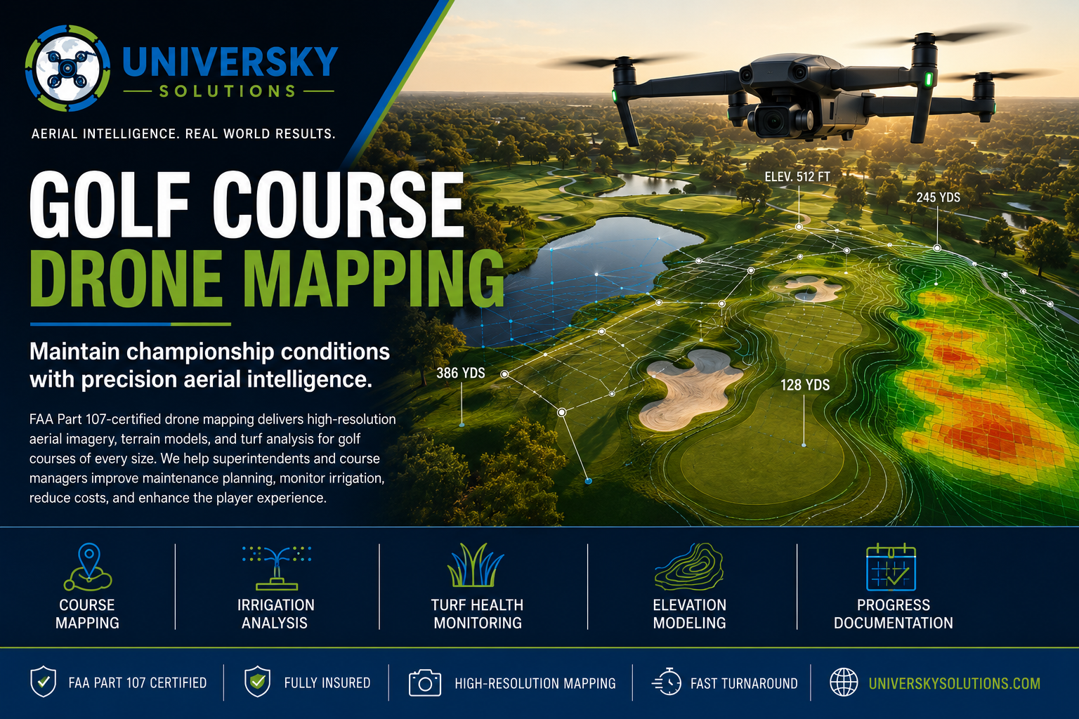
FAA Part 107-certified drone mapping delivers high-resolution aerial imagery, terrain models, and turf analysis for golf courses of every size. We help superintendents and course managers improve maintenance planning, monitor irrigation, reduce costs, and enhance the player experience.
Applications
- Golf Course Mapping
- Fairway Condition Monitoring
- Green Health Analysis
- Irrigation Planning
- Bunker Measurements
- Cart Path Documentation
- Drainage Assessments
- Vegetation Management
- Course Renovation Planning
- Construction Progress Monitoring
Benefits
- High-resolution aerial imagery
- Rapid coverage of entire courses
- Accurate terrain mapping
- Improved irrigation efficiency
- Early turf stress detection
- Reduced maintenance costs
- Better planning for renovations
- Professional reports for management
- Minimal disruption to course operations
- Fast turnaround
Keep your golf course performing at its best with professional aerial mapping and inspection services. UniverSky Solutions provides actionable data that helps improve turf quality, optimize maintenance, and support long-term course management.