

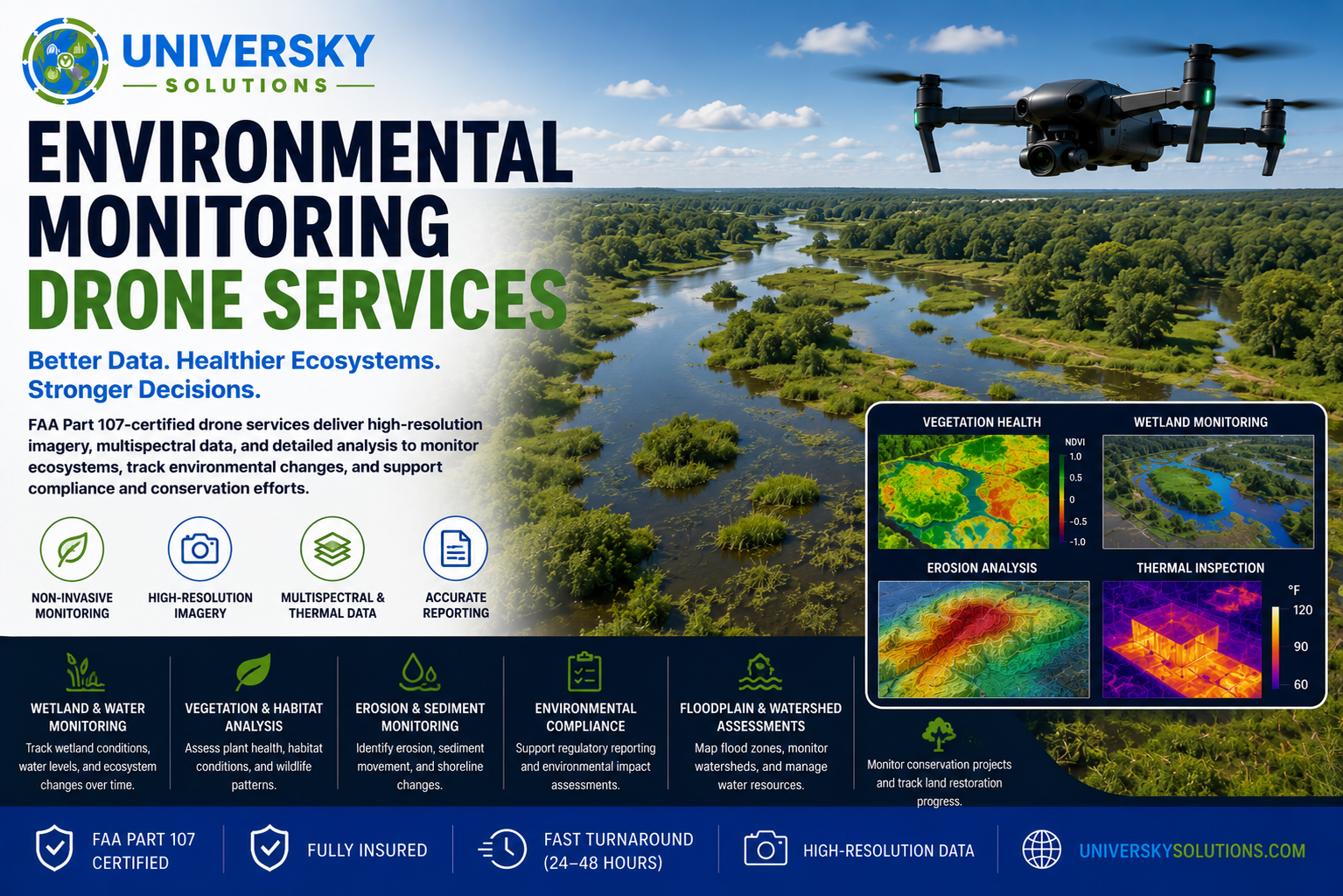
- FAA Part 107 certified drone services for environmental monitoring, conservation projects, wetlands, erosion control, habitat assessments, and environmental compliance.
- High-resolution aerial imagery, multispectral mapping, and thermal imaging help identify environmental changes, vegetation health, erosion, pollution, flooding, and wildlife impacts.
- Reduce field survey time, improve data accuracy, and safely monitor large or difficult-to-access areas.
- Detailed reports provide environmental consultants, government agencies, land managers, and engineering firms with actionable insights for compliance and long-term resource management.
Applications
- Wetland Monitoring
- Erosion & Sediment Monitoring
- Habitat & Wildlife Surveys
- Vegetation Health Analysis
- Environmental Compliance Inspections
- Floodplain Monitoring
- Watershed Assessments
- Coastal & Shoreline Monitoring
- Conservation Project Monitoring
- Land Restoration Progress Tracking
Benefits
- Non-invasive environmental inspections
- High-resolution aerial imagery
- Multispectral & Thermal Imaging Available
- FAA Part 107 Certified
- Fast Turnaround (24–48 Hours)
- Fully Insured
- Accurate Reporting
- Reduced Survey Costs
- Improved Environmental Decision-Making
Protect Natural Resources with Better Data.
Our certified drone pilots provide fast, safe, and accurate environmental monitoring services that help organizations protect ecosystems, improve regulatory compliance, monitor environmental change, and make informed conservation and land management decisions.
Request your custom environmental monitoring quote today.