

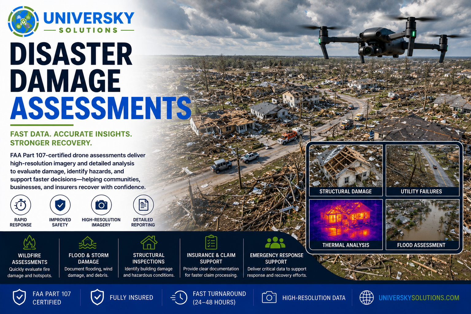
- FAA Part 107 certified drone damage assessments for wildfires, hurricanes, floods, tornadoes, earthquakes, severe storms, and other natural disasters.
- High-resolution aerial imagery and thermal technology rapidly document structural damage, hazardous conditions, debris fields, utility failures, and impacted infrastructure.
- Reduce response time, improve personnel safety, and provide fast situational awareness without placing inspectors in dangerous environments.
- Detailed reports help emergency managers, insurance carriers, utility companies, municipalities, contractors, and property owners make informed recovery decisions.
Applications
- Wildfire Damage Assessments
- Flood Damage Documentation
- Hurricane & Tornado Inspections
- Earthquake Damage Surveys
- Storm Damage Assessments
- Roof & Structural Damage Inspections
- Utility Infrastructure Assessments
- Insurance Claim Documentation
- FEMA & Emergency Response Support
- Disaster Recovery Planning
Benefits
- Rapid Emergency Response
- High-Resolution Aerial Imagery
- Thermal Imaging Available
- FAA Part 107 Certified
- Fast Turnaround (24–48 Hours)
- Fully Insured
- Accurate Reporting
- Improved Personnel Safety
- Faster Insurance Documentation
Respond Faster. Recover Smarter.
Our certified drone pilots provide fast, safe, and accurate disaster damage assessments that help emergency responders, insurance providers, utilities, and property owners evaluate damage quickly, prioritize recovery efforts, reduce costs, and restore operations as efficiently as possible.
Request your custom disaster damage assessment quote today.