

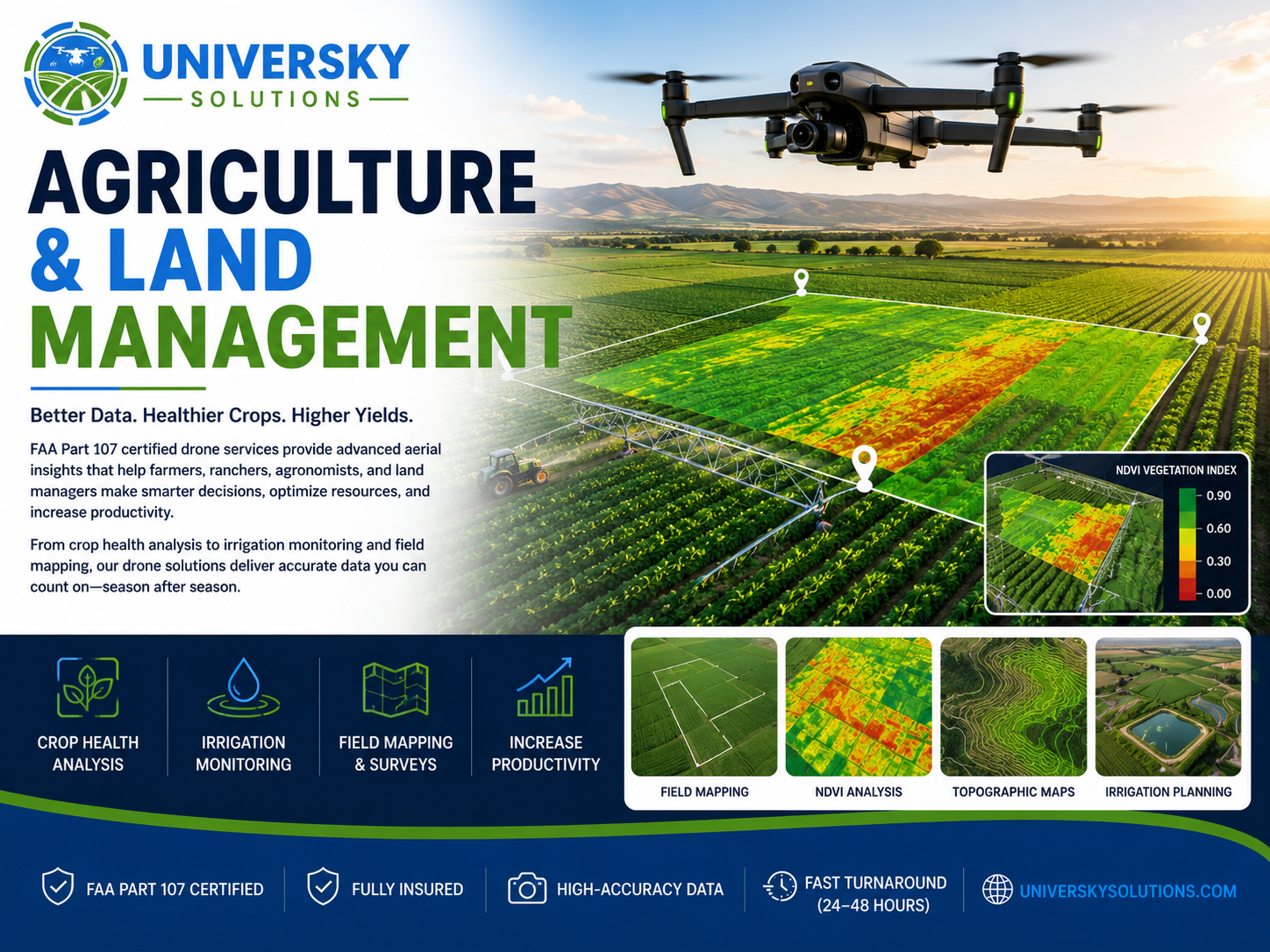
FAA Part 107 certified drone agriculture and land management services provide high-resolution aerial data to help farmers, ranchers, vineyards, and landowners make informed decisions. Using advanced imaging, mapping, and field analysis, we identify crop stress, irrigation issues, drainage problems, and changing field conditions quickly and accurately.
Our aerial solutions improve productivity, reduce operating costs, and provide actionable insights for agricultural operations of every size.
Applications
- Crop Health Monitoring
- NDVI Vegetation Analysis
- Irrigation System Inspections
- Field Mapping
- Drainage Analysis
- Livestock Property Surveys
- Vineyard Monitoring
- Orchard Management
- Soil & Field Condition Monitoring
- Land Development Planning
Why Choose UniverSky?
- FAA Part 107 Certified Pilots
- High-Resolution Aerial Data
- NDVI & Crop Health Analysis
- Accurate Field Mapping
- Faster Than Traditional Inspections
- Fast Turnaround (24–48 Hours)
- Trusted by Farmers & Land Managers
Request A Quote
Need professional drone services for agriculture or land management? Contact UniverSky Solutions today for aerial insights that improve crop health, maximize productivity, and simplify land management.